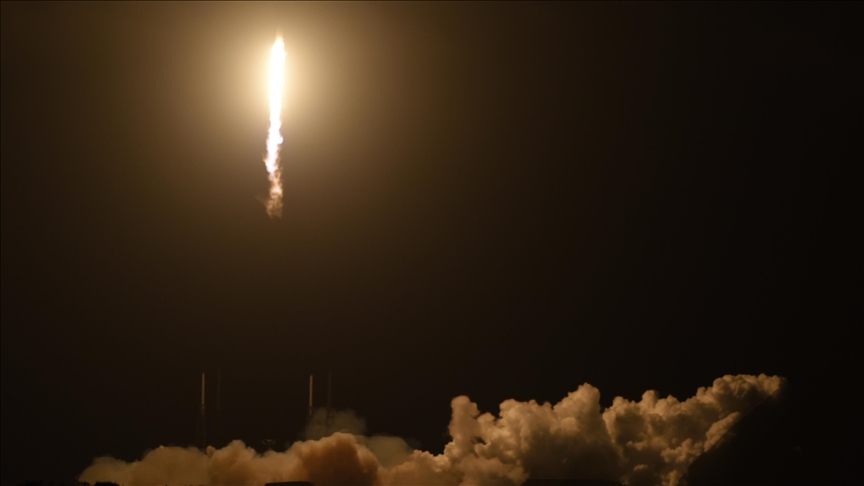
China launches its largest land monitoring satellite
Synthetic aperture radar, or SAR, satellite will help Beijing ‘conduct mass terrain survey at millimeter precision’
By Riyaz ul Khaliq
ISTANBUL (AA) – China on Wednesday sent its largest land monitoring satellite into space.
The L-SAR 01A satellite was launched aboard a Long March-4C carrier rocket from the Jiuquan Satellite Launch Center in northwestern China, public broadcaster CGTN reported.
Synthetic aperture radar, or SAR, “is a type of microwave remote-sensing technology used to study geological environment and monitor landslides and earthquakes,” the report said.
The L-SAR 01A is China’s “largest land observation satellite operating in orbit by caliber, a key measurement to gauge capability,” it added.
The satellite weighs 3.2 tons and has an antenna spanning over 33 square meters (355 square feet).
The satellite will help Beijing “conduct mass terrain survey at millimeter precision” and also enable scientists to “better survey areas covered by forest,” the report said.
The Shanghai Academy of Spaceflight Technology said the satellite “can significantly reduce China’s dependence on SAR data provided by other countries.”
This was also the first launch of China’s indigenously built Long March carrier rockets this year. The country has so far used 407 Long March carrier rockets for space launches.
Kaynak:![]()
This news has been read 463 times in total


Türkçe karakter kullanılmayan ve büyük harflerle yazılmış yorumlar onaylanmamaktadır.